

GeoSeer
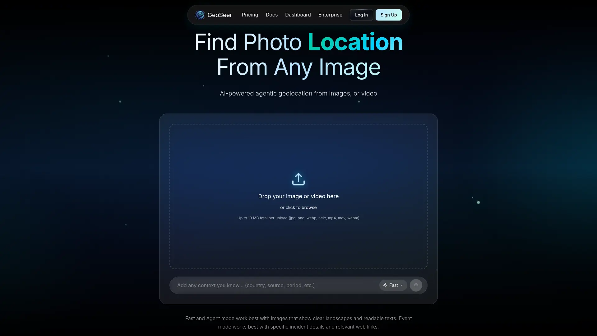
What is GeoSeer?
GeoSeer is an AI-powered geolocation platform that estimates where images, videos, and text-described events occurred. Its agentic workflow combines visual analysis, reverse image search, map and satellite research, area estimation, and multi-step reasoning. The service is designed for journalists, researchers, investigators, developers, scouts, and organizations that need location intelligence from visual media. Users can analyze files through the web app or integrate geolocation capabilities programmatically through the REST API. Its main differentiator is combining multiple specialized agents with interactive location results and support for image, video, multi-file, and event-based analysis.
How to use GeoSeer?
1. Create a GeoSeer account or sign in, then open the analysis workspace. 2. Upload a supported image or video, provide a URL or event description, and add any useful context before selecting an analysis mode. 3. Review the predicted locations, confidence details, reasoning, and map-based results, then save, share, or retrieve the output through the API.
GeoSeer's Core Features
AI Photo Geolocation: Estimate the likely geographic location of an uploaded image and return coordinates, address details, confidence, and reasoning.
Video Geolocation: Analyze supported video files to identify visual clues and estimate where the footage was recorded.
Multi-Image Analysis: Submit multiple related images to provide broader evidence for a single geolocation investigation.
Event Mode: Search for the location of a real-time incident from text descriptions and relevant contextual links.
Agentic Research Workflow: Combine visual analysis, reverse image search, satellite research, mapping, and reasoning agents to evaluate location clues.
Interactive Map Results: Review predicted coordinates and location information through map-based visualizations.
Contextual Input: Add known country, source, time period, or other hints to help focus the analysis.
Geolocation API: Integrate media and event analysis into applications through REST endpoints with Python and JavaScript examples.
Streaming Responses: Use server-sent event streaming to receive analysis updates during longer API requests.
Shareable Results: Create result links or publish selected analyses to a public gallery when sharing is appropriate.
GeoSeer's Use Cases
- #1
Journalists verifying the likely location of user-generated news images
- #2
Researchers studying visual geolocation accuracy across countries and environments
- #3
OSINT analysts investigating locations shown in photographs or videos
- #4
Marketing scouts identifying destinations, venues, or landmarks from reference media
- #5
Developers adding image and video geolocation to an investigation or verification platform
- #6
Educators creating geography exercises from real-world visual evidence
- #7
Organizations locating real-time incidents from event descriptions and web sources
Frequently Asked Questions
Alternative of GeoSeer
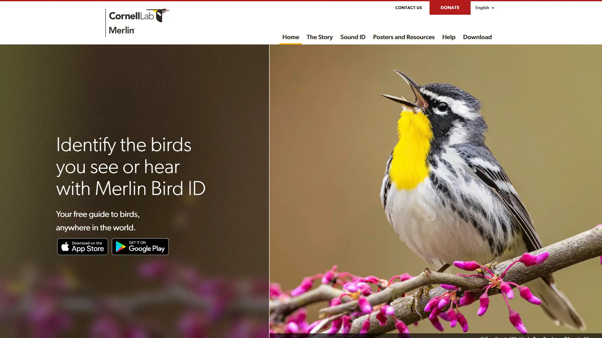

Merlin Bird ID
Identify unfamiliar birds by photo, sound, or simple observations, then learn about local species and save discoveries in an offline-friendly mobile guide.
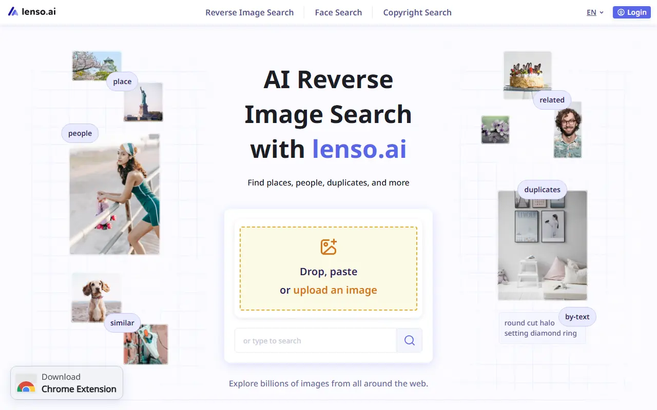

Lenso AI
Lenso AI provides AI-powered image analysis and recognition tools for businesses and developers.

FocalML
FocalML is an AI-powered platform specializing in machine learning tools for image analysis and computer vision tasks.
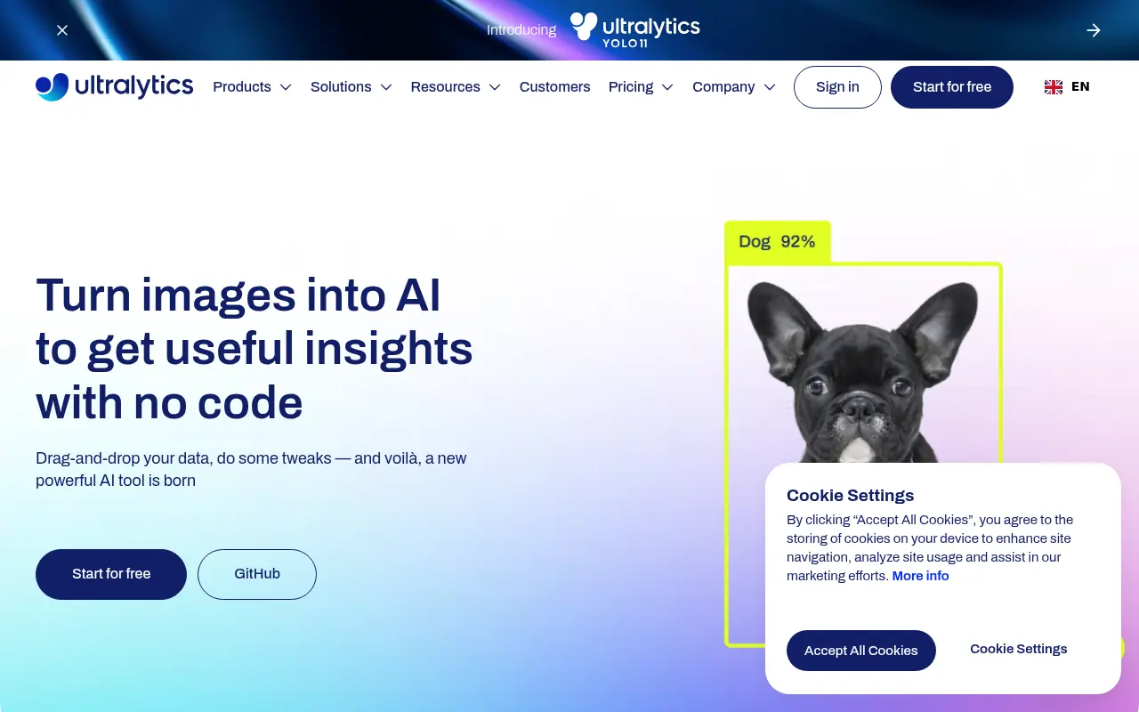

Ultralytics
Ultralytics is an end-to-end computer vision platform empowering developers to train, deploy, and scale state-of-the-art YOLO AI models for real-time image recognition.
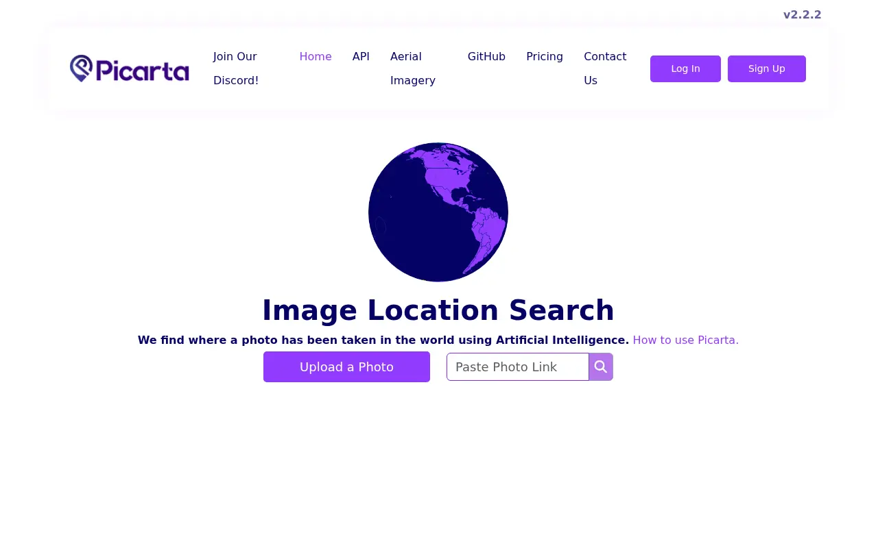

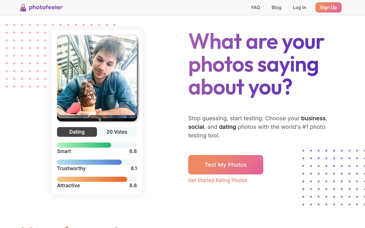

Photofeeler
Photofeeler provides anonymous feedback to optimize profile photos for business, social, and dating purposes.
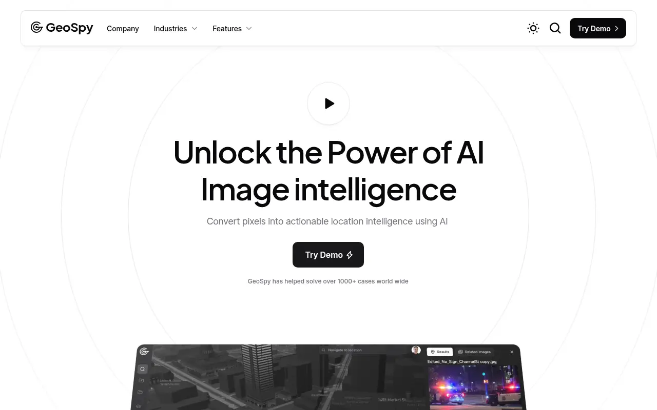

GeoSpy
GeoSpy is an AI-powered geolocation platform that uses advanced computer vision models to accurately determine where photos were taken, providing detailed location intelligence.
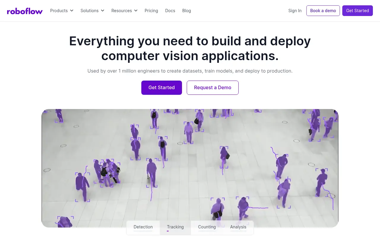

Roboflow
Roboflow provides tools to build, train, and deploy computer vision models for developers and enterprises.