

FindPicLocation
What is FindPicLocation?
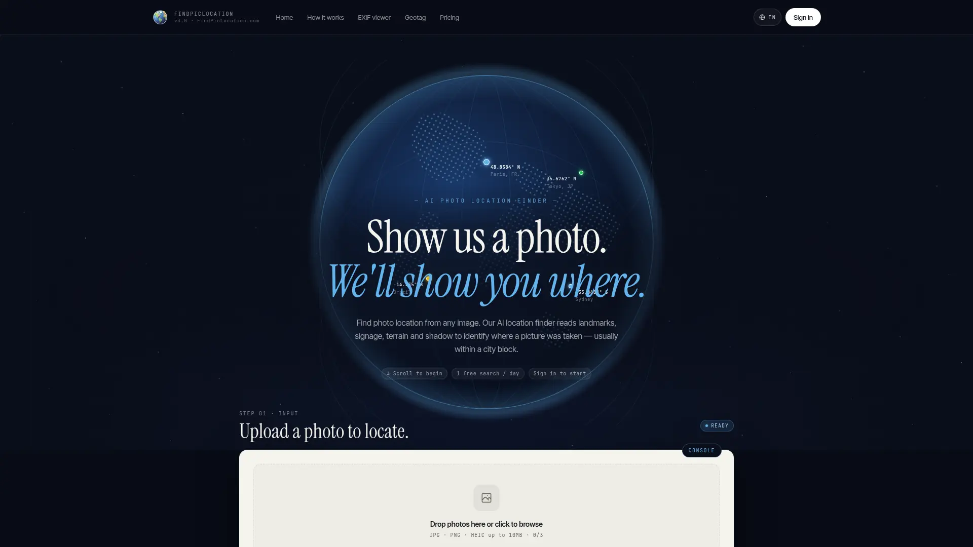
FindPicLocation is an AI photo geolocation tool that estimates where an image was captured. It first checks available EXIF GPS metadata, then analyzes visual clues such as landmarks, architecture, signage, terrain, vegetation, and shadows when metadata is unavailable. Users receive location suggestions with confidence scores and can review results on satellite or street-view maps. The service is designed for travelers, photographers, journalists, researchers, OSINT users, and anyone investigating an unfamiliar image. Its main differentiator is a Deep Search mode that uses multiple AI agents and real map data to verify difficult location hypotheses.
How to use FindPicLocation?
1. Open FindPicLocation and upload a supported image. 2. Let the service read EXIF GPS data or analyze visual clues with Quick Find or Deep Search. 3. Review the suggested locations, confidence scores, and map views to identify the most likely photo location.
FindPicLocation's Core Features
EXIF GPS Detection: Extract available GPS coordinates from image metadata for fast location identification.
Visual AI Geolocation: Analyze landmarks, architecture, signs, terrain, vegetation, and shadows when GPS data is unavailable.
Multiple Location Suggestions: Present several possible locations so users can compare alternative predictions.
Confidence Scores: Show an estimated confidence level for each suggested location to support informed review.
Interactive Map Results: Display predicted locations on satellite and street-view maps for geographic verification.
Deep Search: Use a multi-agent analysis process to cross-check difficult predictions against map data and visual references.
Image Upload Workflow: Let users submit a photo directly through the browser without requiring specialized geolocation software.
Daily Free Searches: Provide ongoing free searches for users who need occasional photo-location lookups.
FindPicLocation's Use Cases
- #1
Locate travel photos when the original camera metadata is missing
- #2
Identify landmarks, streets, or landscapes from an unfamiliar image
- #3
Verify the likely origin of screenshots or images shared online
- #4
Research locations for journalism, OSINT investigations, or fact-checking
- #5
Organize personal photo archives by recovering missing geographic context
- #6
Explore possible destinations from scenic or architectural travel images
- #7
Compare multiple AI-generated location suggestions before manual verification
Frequently Asked Questions
Analytics of FindPicLocation
Monthly Visits Trend: Jun 2025 - Aug 2026
Traffic Sources
Top Regions
| Region | Traffic Share |
|---|---|
| United States | 19.46% |
| India | 8.01% |
| Russia | 5.72% |
| Brazil | 4.59% |
| Canada | 4.29% |
Top Keywords
| Keyword | Traffic | CPC |
|---|---|---|
| where is this place | 60.0K | $1.17 |
| поиск места по фото | 550 | -- |
| image location finder | 1.4K | $1.44 |
| найти место по фото | 150 | -- |
| address lookup from picture | -- | -- |
Alternative of FindPicLocation



Merlin Bird ID
Identify unfamiliar birds by photo, sound, or simple observations, then learn about local species and save discoveries in an offline-friendly mobile guide.


GeoSpy
GeoSpy is an AI-powered geolocation platform that uses advanced computer vision models to accurately determine where photos were taken, providing detailed location intelligence.


Roboflow
Roboflow provides tools to build, train, and deploy computer vision models for developers and enterprises.


Lenso AI
Lenso AI provides AI-powered image analysis and recognition tools for businesses and developers.


PictureThis
PictureThis is an AI-powered plant identification website and app that helps users instantly identify plants, diagnose plant diseases, and receive personalized care tips by uploading photos.


Photofeeler
Photofeeler provides anonymous feedback to optimize profile photos for business, social, and dating purposes.


Ultralytics
Ultralytics is an end-to-end computer vision platform empowering developers to train, deploy, and scale state-of-the-art YOLO AI models for real-time image recognition.