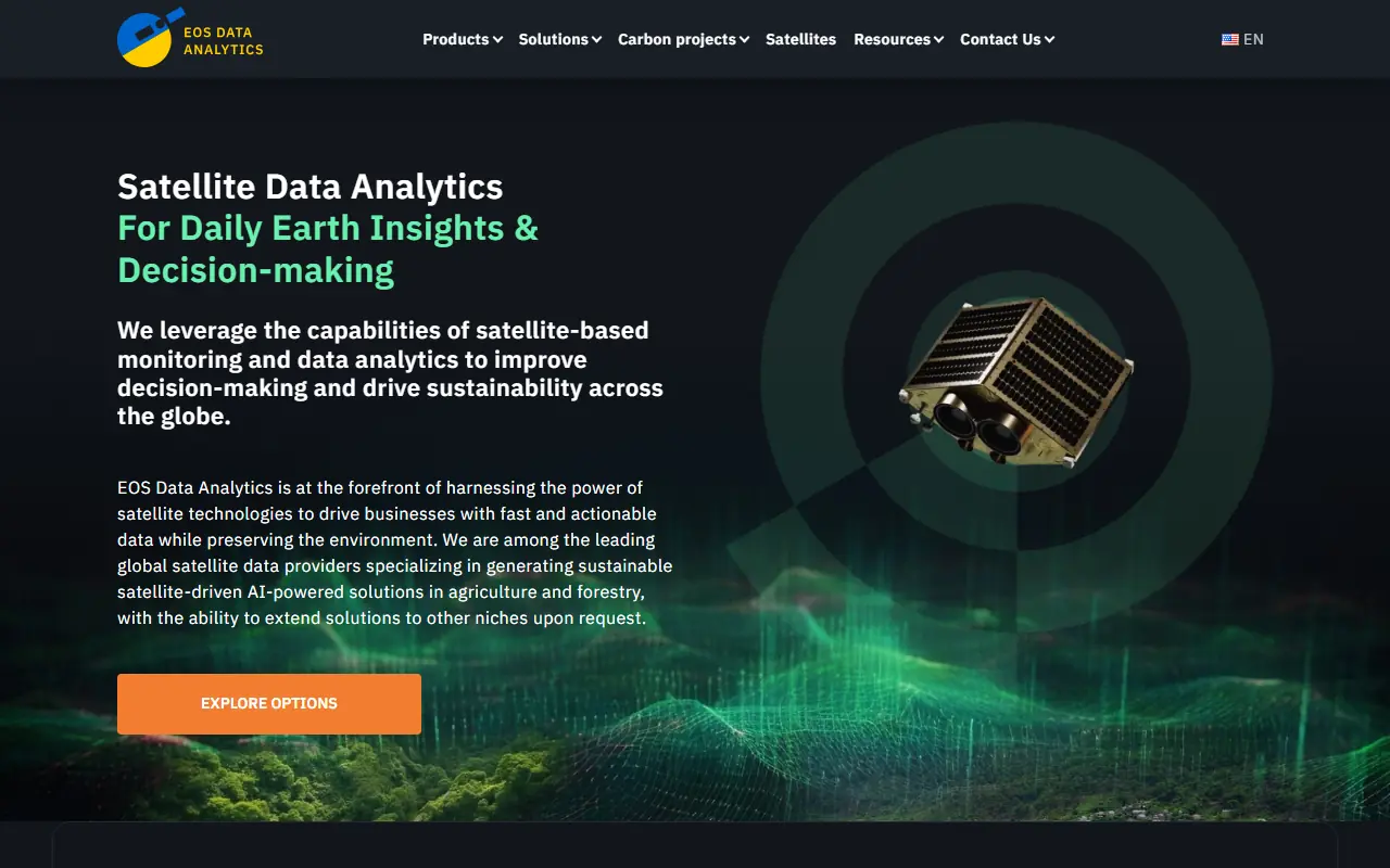
EOS Data Analytics
What is EOS Data Analytics?
EOS Data Analytics (EOSDA) is a global provider of Earth observation solutions and AI-powered satellite imagery analytics. Founded by Dr. Max Polyakov, its mission is to harness satellite technologies to drive sustainable practices and equip decision-makers with urgent environmental insights. The platform integrates multiple data types—such as satellite images, crop health observations, and weather conditions—into user-friendly tools like EOSDA Crop Monitoring and LandViewer. By serving over 22 industries with a primary focus on agriculture and forestry, it enables precise, data-driven decisions. Ultimately, EOSDA helps organizations globally optimize resource use, monitor forest health, and tackle climate challenges effectively.
How to use EOS Data Analytics?
Users can access EOS Data Analytics by registering an account on the platform and choosing the specific product that meets their needs, such as LandViewer for exploring satellite imagery or Crop Monitoring for precision agriculture. Once logged in, you can set your Area of Interest (AOI), apply filters for cloud cover or specific dates, and analyze historical or real-time data using various vegetation and moisture indices. The platform allows you to download cropped satellite images, view custom analytics reports, and integrate actionable insights into your farm or forest management operations to optimize yields and resource usage.
EOS Data Analytics's Core Features
EOSDA Crop Monitoring integrates satellite images, weather data, and crop health observations in one platform.
EOSDA LandViewer provides direct browser access to search, visualize, and download medium- and high-resolution satellite imagery.
Vegetation and moisture indices quantify plant density, health, and surface moisture for targeted agricultural analysis.
Forest monitoring capabilities detect forest cover, track deforestation, and assess fire-damaged areas.
Yield prediction features forecast crop yields based on historical satellite data and advanced weather inputs.
Custom satellite tasking allows users to request high-resolution daily imagery on demand for specific areas of interest.
API access and white-label solutions enable IT companies to seamlessly integrate satellite analytics into their own software.
EOS Data Analytics's Use Cases
- #1
Monitoring crop health and predicting yields for precision agriculture.
- #2
Detecting deforestation and tracking reforestation dynamics over time.
- #3
Assessing fire damage and monitoring general forest health.
- #4
Planning variable-rate applications of seeds, fertilizers, and pesticides.
- #5
Predicting water stress in crops and implementing precision irrigation.
- #6
Monitoring urban planning, land use changes, and critical infrastructure.
Frequently Asked Questions
Analytics of EOS Data Analytics
Monthly Visits Trend: Apr 2025 - Jun 2026
Traffic Sources
AI Channel Traffic Trends
Top Regions
| Region | Traffic Share |
|---|---|
| United States | 14.35% |
| Brazil | 12.49% |
| Germany | 6.64% |
| Ukraine | 5.67% |
| Russia | 3.22% |
Top Keywords
| Keyword | Traffic | CPC |
|---|---|---|
| satellite images | 21.9K | $0.67 |
| satelitenbilde | -- | -- |
| live satellite view | 7.8K | $0.34 |
| eosda landviewer | 3.3K | $1.00 |
| landviewer | 2.5K | $0.43 |
Alternative of EOS Data Analytics
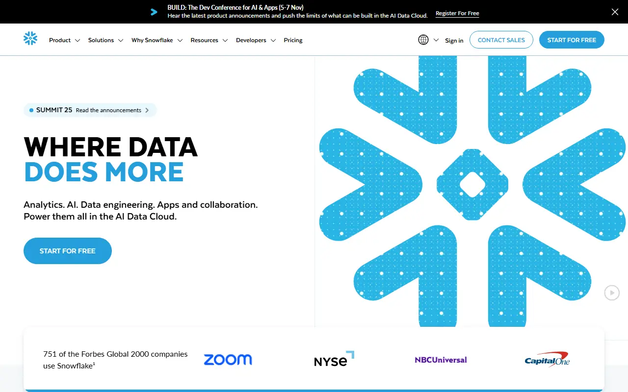
Snowflake
Snowflake is a cloud-based data platform that enables scalable data storage, analytics, and AI-driven insights for enterprises.

SAS
SAS is a leading provider of analytics, artificial intelligence, and data management software and services that help organizations turn data into actionable insights.

Tableau
Tableau is a powerful visual analytics platform that empowers individuals and organizations to explore, analyze, and securely share actionable data insights.
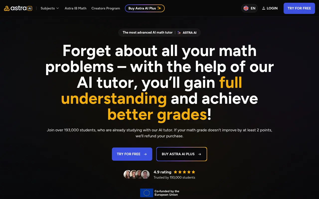
Astra AI
Astra AI is a cutting-edge platform that harnesses artificial intelligence to provide advanced data analysis and business intelligence solutions.
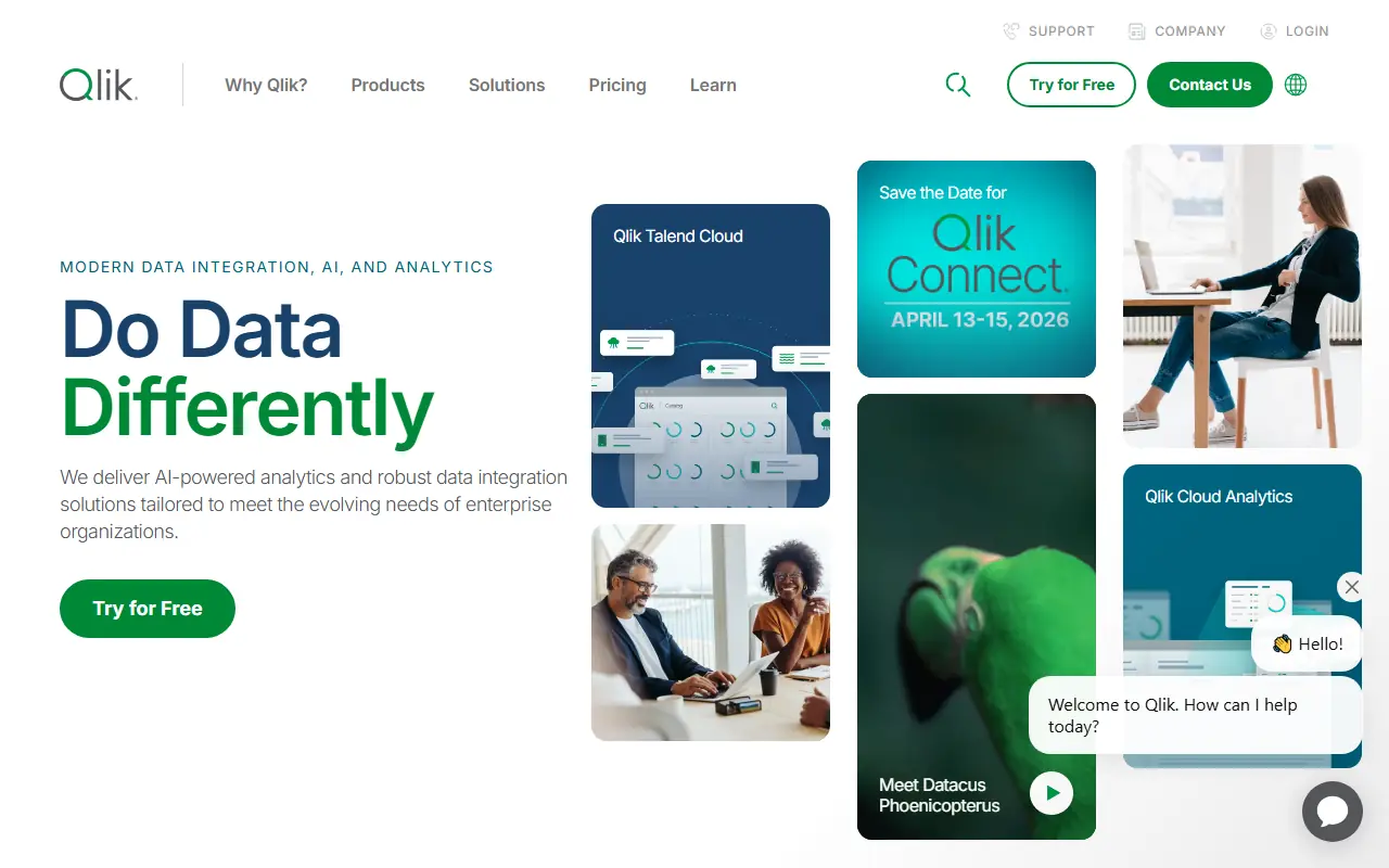
Qlik
Qlik is a leading business intelligence platform that enables data visualization, analytics, and AI-driven insights to help organizations make data-informed decisions.
Julius AI
Julius AI is an AI-powered platform for data analysis, visualization, and statistical modeling.
Triple Whale
Triple Whale is an e-commerce intelligence platform that centralizes metrics, provides multi-touch marketing attribution, and offers AI-powered data analysis for direct-to-consumer brands.
Kalodata
Kalodata is a comprehensive TikTok Shop analytics platform that helps e-commerce sellers and creators discover winning products, analyze competitor performance, and track trending content.